One Thing to Know
The dam you pass at the base of the ridge is known as Lows Upper Dam. The original dam was built in 1907 as part of AA Low's attempt to create a profitable forest industries operation on 15,000 acres he owned in the area. The upper dam creates Lows Lake, the large body of water west of the overlook ridge.

This is where locals take their friends to show off. An attractive walk ending at a view that elicits “wow” from all who see it.
The view of Hitchins Pond and the Bog River from the Overlook is stunning. That’s the bottom line for this hike. The route initially follows a gravel road (closed to public traffic) and within a short distance the Hitchins Pond Bog –one of the largest boreal bogs in the northeastern United States– appears through the trees. The route then passes a series of attractive ponds and wetlands. After 2.25 miles you reach the site of Lows Upper Dam. The trail leaves the clearing at the dam on the right (there is a sign). As you approach the top you come upon the open ledges of the overlook unexpectedly, and even hardened hikers have been known to gasp at the view.
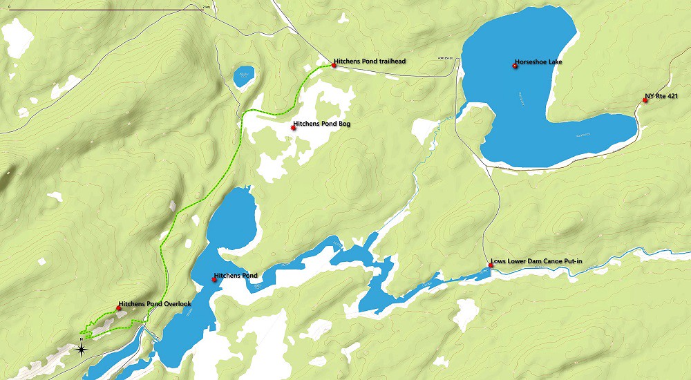
Hitchens Pond Overlook Map
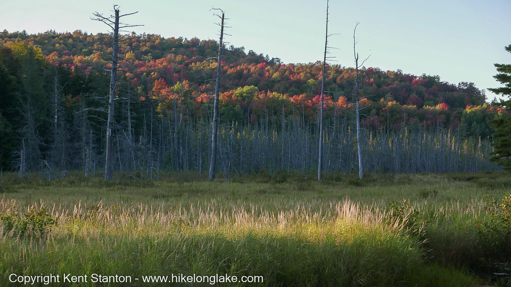
Along the trail to Hitchens Pond Overlook